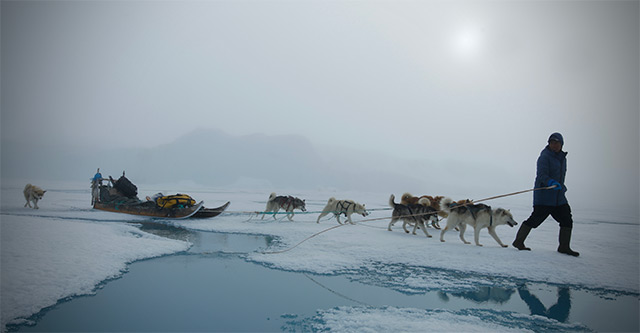
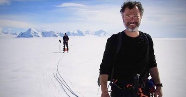
During the Austral summer a team of scientists, engineers, and polar explorers will travel to one of the most remote locations on Earth: the interior East Antarctic Plateau. The expedition will target a site at 81.85°S, 59.45°E, at an elevation of 3,816 meters, identified through satellite observations as the coldest known location on the planet.
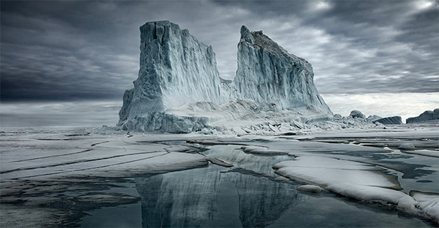
Situated within a shallow depression in the Antarctic ice sheet, this region has recorded surface snow temperatures as low as -98°C (-144°F), with air temperatures estimated to reach approximately -94°C (-137°F) during extreme winter events. Scientists believe this location may represent the coldest naturally occurring environment on Earth.
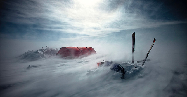
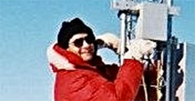
The mission will deploy a network of advanced climate monitoring stations designed to operate continuously through two Antarctic winters. These stations will collect and transmit near real-time data by satellite, measuring air temperature, snow temperature, wind conditions, atmospheric pressure, snow transport, and surface energy exchange in one of the least studied environments on the planet.
In addition to installing the monitoring systems, the team will collect snow samples, map local topography, conduct ground-penetrating radar and lidar surveys, and analyze snow layering patterns to better understand the climate history and environmental dynamics of the region.
The research aims to improve understanding of the atmospheric conditions that create Earth’s most extreme cold events while examining the relationship between these temperatures, atmospheric water vapor, carbon dioxide, and broader climate systems. The data will also support satellite calibration efforts and future deep ice core research across Antarctica.
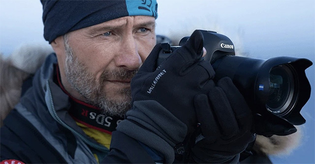
The expedition builds upon years of published research and technological development. Beyond its scientific objectives, The Expedition will serve as a global educational initiative, bringing audiences into one of Earth’s last great frontiers through storytelling, photography, filmmaking, and public engagement across CORE’s platforms.
By combining exploration, climate science, technology, and education, the TCP mission seeks to expand our understanding of one of the most extreme environments on Earth while inspiring future generations of scientists, explorers, and changemakers.